Ortofoto de Granadilla de Abona
Vista aérea de terrenos en Granadilla de Abona
Plano del plan general de ordenación de Granadilla de Abona
Ortofoto de Granadilla de Abona
Imagen de ciudad deportiva en Granadilla de Abona
Ortofoto de Granadilla de Abona
Vista aérea de terrenos en Granadilla de Abona
Plano del plan general de ordenación de Granadilla de Abona
Ortofoto de Granadilla de Abona
Imagen de ciudad deportiva en Granadilla de Abona
URBAN PLANNING

Granadilla de Abona general urban zoning plan (Tenerife)

  • CATEGORY : URBAN PLANNING
  • PROYECTO DE :
  • AÑO :
  • CLIENTES :
  • UBICACIÓN :
  • POBLACIÓN 2012 :
  • POBLACIÓN 2020 :
  • POBLACIÓN 2021 :
  • DIRECCIÓN :
  • SUPERFICIE ÁMBITO :
  • SUPERFICIE MUNICIPAL :
  • SUPERFICIE PARCELA :
  • SUPERFICIE CONSTRUIDA :
  • PLAZAS TURÍSTICAS :
  • COAUTOR :
  • PRESUPUESTO CONTRATA :
  • CONTRATISTA :
  • MONTANTE DE OBTENCIÓN DE SUELO Y OBRA DE URBANIZACIÓN (BRUTO) :
  • FOTOGRAFÍAS :
  • COREDACTOR :
  • DATE : 2001-05
  • CLIENT : Municipality of Granadilla
  • ADDRESS :
  • LOCATION : Tenerife, Canary Islands (Spain)
  • MUNICIPAL AREA : 162.43 sq. km
  • 2012 POPULATION : 42,545
  • 2020 POPULATION :
  • 2021 POPULATION :
  • PLANNED TOURIST CAPACITY : 4,514
  • SURFACE AREA :
  • PLOT AREA :
  • PLOT SURFACE AREA :
  • GROSS FLOOR AREA :
  • BUILT AREA :
  • CO-AUTHOR :
  • CO-EDITOR : Fernando Senante Mascareño (lawyer)
  • AMOUNT (LAND AND CONSTRUCTION WORKS) :
  • CONTRACT BUDGET :
  • CONTRACTOR :
  • DEVELOPMENT CONTRACTOR :
  • PHOTOGRAPHY :

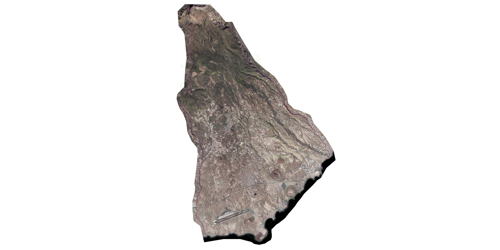
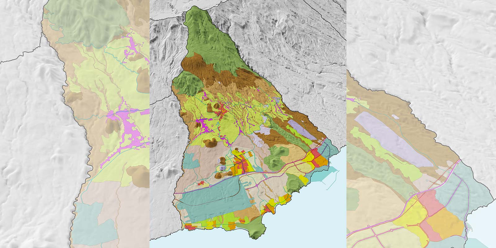
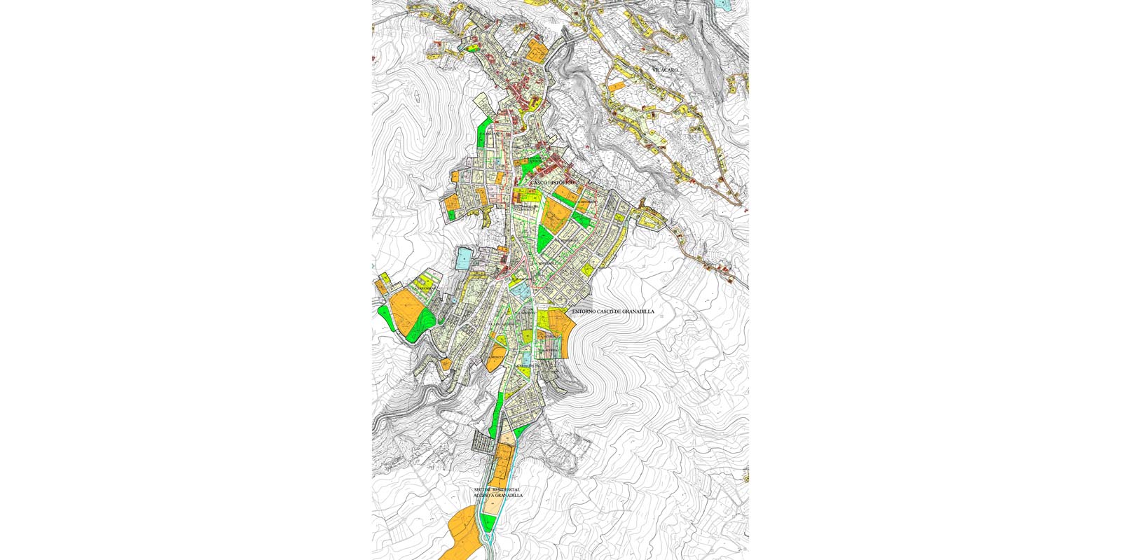
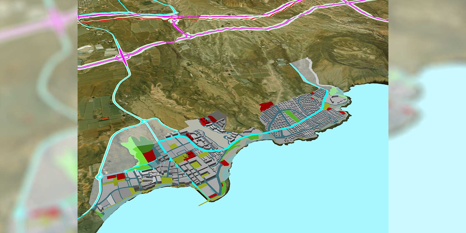
Located in the Abona region in the south of Tenerife, the municipality of Granadilla plays a strategic role on the island. It brings together the Island Logistics Platform (existing airport, port under construction, industrial park, etc.) and other top-level pieces of infrastructure (Island Motor Sports Centre). The coastal towns are for tourist/residential use and linked to the most famous beaches on the island. It highlights the urban centre of San Isidro, close to the motorway, and the town of Granadilla in the middle area, as well as other settlements located in the agricultural landscape.

In turn, the territorial model contemplates the large areas designated as Protected Natural Spaces — which, together with the rest of the environmentally protected land categorised by the General Urban Zoning Plan, represent a bit more than half of the municipality’s surface area.

COLLABORATORS

Team
Cristina Bilbao Ruiz – Lawyer
Concepción Ule Delgad – Lawyer
Ana Gámez García – Architectural technician
Florentín Rodríguez González – Design draughtsman and expert in geographic information systems
Carlos Javier Acosta Pérez – Design draughtsman
Eva León Pérez – Clerk
Elena Real Hardisson – Clerk

Environmental Engineering
SOCIEDAD CANARIA DE ECOGESTIÓN, SL
José Julián Naranjo Pérez – Biologist

CATEGORY

URBAN PLANNING

DATE

2001-05

CLIENT

Municipality of Granadilla

LOCATION

Tenerife, Canary Islands (Spain)

MUNICIPAL AREA

162.43 sq. km

2012 POPULATION

42,545

PLANNED TOURIST CAPACITY

4,514

CO-EDITOR

Fernando Senante Mascareño (lawyer)

SHARE PROJECT
Esta web utiliza cookies para su correcto funcionamiento. Al hacer click en el botón ACEPTAR, aceptas el uso de estas tecnologías y el procesamiento de tus datos para estos propósitos. Configurar + Info   
Privacidad